Image


On this page, you'll find all the maps for the Les Orres resort: maps of the Orres Bike Park mountain bike trails, hiking itineraries, a list of accommodation , parking lots, lift departures, and even your meeting places (events, ice rink, tobogganing...) all summer long!
You might also be interested in:
The Les Orres resort is made up of several complementary sectors. Les Orres 1650 is the historic heart of the resort, with numerous shops, services, activities and lift departures. Les Orres 1800 (Bois Méan) is more recent. It offers direct access to the slopes, tourist residences and snow front. Les Orres 1550 (Pramouton) offers quick access to the ski area and parking lots. Le Chef-lieu and the hamlets comprise the historic village and the commune's main residential districts.
The various maps available on this page make it easy to locate accommodation, parking lots, ski lifts, hiking trails and activities.
Les Orres in brief :

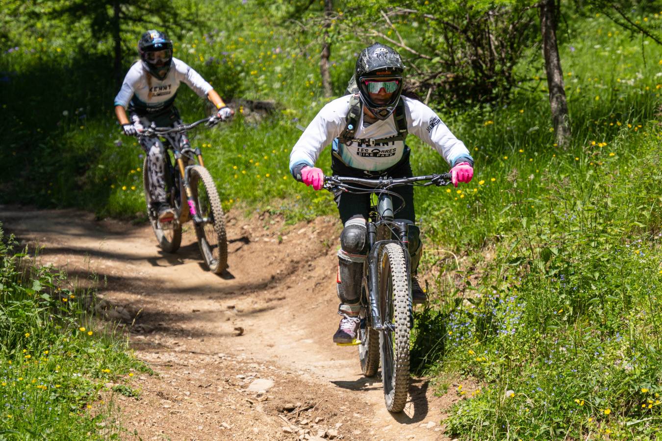
More than 160 km of trails let you discover the mountains of Les Orres, in the Hautes-Alpes. Magnificent landscapes, marmots, high altitude flora, breathtaking panoramas... Choose your walk from among 16 signposted itineraries, for families (green and blue levels) or experienced hikers (red and black levels).

Les Orres 1650 is the center of the resort. Here you'll find the tourist office, numerous shops, restaurants, activities and entertainment. The area is also within easy reach of the main ski lifts and activity departure points in both summer and winter.
You'll also find your rental, the location of events and activities(Pôle sport innovation, ice rink, Espace rencontre et culture...) , parking lots and on-street parking at Les Orres 1650, Les Orres 1550 and Pramouton.

Les Orres 1800, also known as Bois Méan, is a new district offering direct access to the ski area and mountain activities. Its snow front is home to beginners' areas, several tourist residences, shops and numerous family activities.
Find the accommodation where you'll be spending your vacations, the places where activities and entertainment take place , the parking lots and on-street parking areas in Les Orres 1800.


A footpath links the two resorts on foot. In Orres 1650, the path starts between the Prélongis chairlift and the Alp'Cadeaux souvenir store. In Les Orres 1800, the start is at the foot of the Odalys residence: a footbridge takes you over the ski slope.
In winter, free shuttles take you all over the resort, from the hamlets to Les Orres 1550, 1650 and 1800.

