Image



Snow? Deep blue? Cold or mild? To plan your ski session, snowshoe outing or the activities of your day or week, find out today's weather forecast and the forecast for the next 5 days. Information is updated in real time.
💡You might also be interested in :
Here you can consult the daily weather forecast for Les Orres. Each day, you'll find detailed weather conditions : minimum and maximum temperatures, sunshine levels, snowfall forecasts, wind speed and avalanche risk index.
This weather data is updated daily to give you an accurate picture of the weather in the mountains, whether you're coming to ski, relax or simply enjoy the scenery.
Un voile nuageux gagne progressivement la vallée en matinée, avant de s’étendre et de devenir plus dense l’après-midi, réduisant sensiblement l’ensoleillement. En soirée puis durant la nuit, une nouvelle perturbation aborde les secteurs, accompagnée d’un redoux. La limite pluie-neige, proche de 1400 m au départ, remonte progressivement pour dépasser les 1900/2000 m en seconde partie de nuit. Vent faible de secteur sud-ouest à 15-25 km/h TEMPÉRATURES : en légère hausse
To complete your weather forecast, check out our live webcams and the snow & slope opening bulletin.
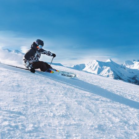
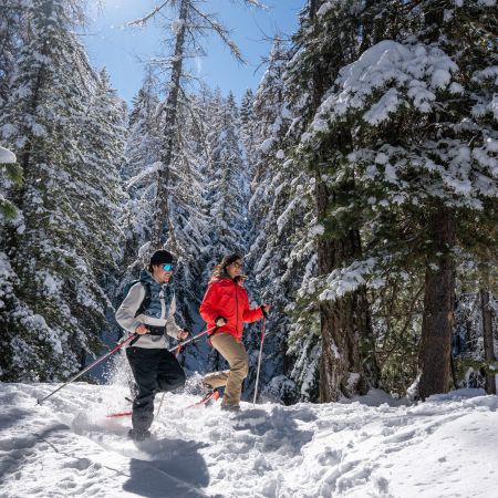
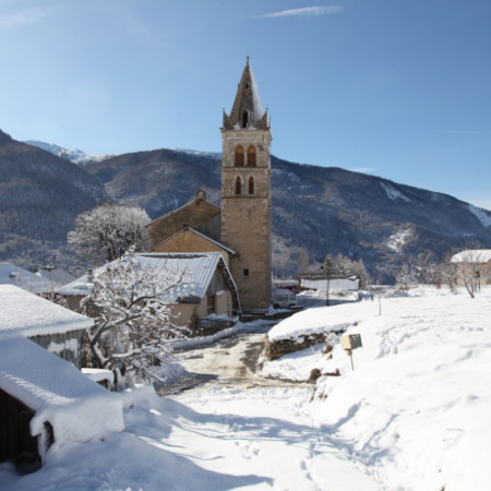
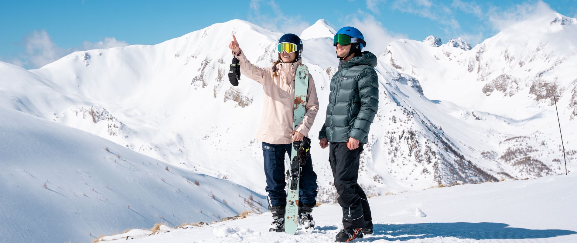
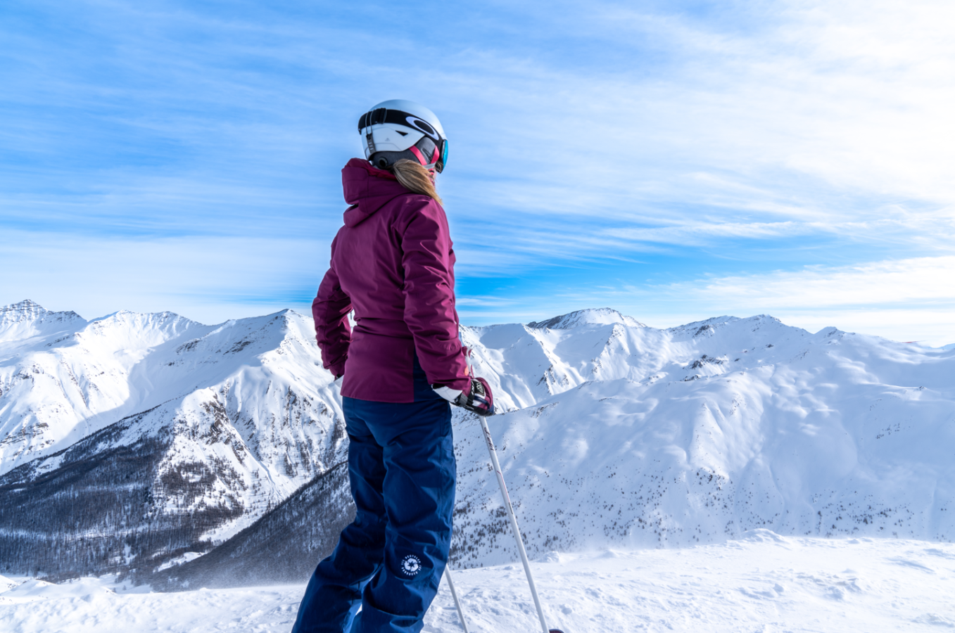
Winter has set in at Les Orres, the peaks are covered in snow and the resort has become a veritable paradise for winter sports enthusiasts. Take advantage of ideal winter conditions to ski, snowboard or explore snowshoeing in the heart of the snow-covered mountains. Winter days offer spectacular panoramas of the Écrins and Lac de Serre-Ponçon and a magical atmosphere for your mountain activities.
When bad weather comes to Les Orres, the mountain reveals a wilder, more spectacular side. Snowfall, wind or fog can change conditions on the slopes and at altitude, requiring vigilance and appropriate equipment. Before going out, check the resort's forecasts and information to make sure you enjoy your stay in complete safety. Here are the activities to do in the warmth!