Image


On this page, you'll find all the maps for the Les Orres resort: maps of the Orres Bike Park mountain bike trails, hiking itineraries, a list of accommodation , parking lots, lift departures, and even your meeting places (events, ice rink, rail sledging...) all summer long!
🧭Les Orres is :
- Les Orres 1550: the resort at 1550 m altitude
- Les Orres 1650: the resort at 1650 m altitude
- Les Orres 1800: the resort at 1800 m altitude
- Le Chef-lieu: the village
- The hamlets
You might also be interested in:

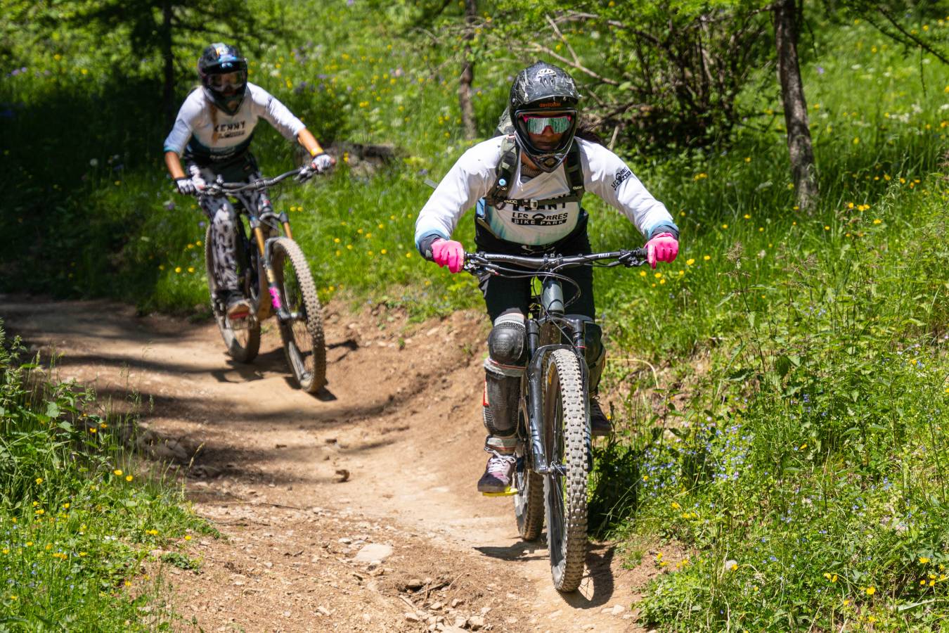
More than 160 km of trails let you discover the mountains of Les Orres, in the Hautes-Alpes. Magnificent landscapes, marmots, high-altitude flora, breathtaking panoramas... Choose your walk from among 16 marked itineraries, for families (green and blue levels) or experienced hikers (red and black levels).

Find your accommodation, the location of events and activities(Pôle sport innovation, ice rink, Espace rencontre et culture...) , parking lots and on-street parking in Les Orres 1650 or Les Orres 1550, in Pramouton.
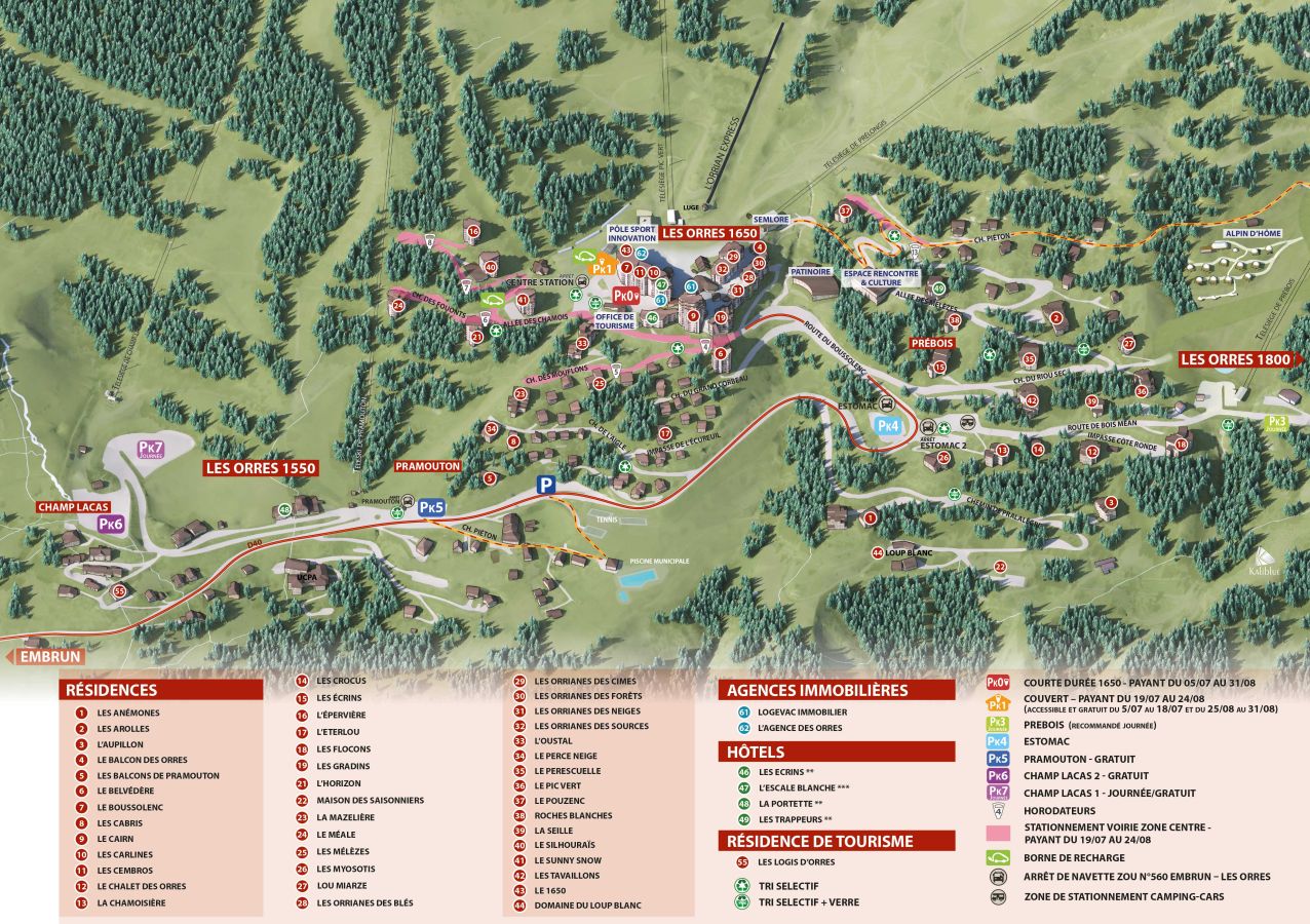
Find the accommodation where you'll spend your vacations, the places where activities take place, the parking lots and on-street parking areas in Les Orres 1800.


