
Presentation
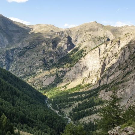
Magnificent panoramas await you on this technical hike! You have three options depending on your fitness level: reach the Col de Girabeau (2500m), continue to Petit Parpaillon (2881m), or push on to Grand Parpaillon (2990m).
➡️ START:
Reach the hamlet of Les Ribes via the RD40, then take the Grand Vallon forest track (⚠️ 4x4 track) until Pont du Clos. Park on the right, before the bridge.
➡️ ROUTE:
COL DE GIRABEAU
6.3 km ⏳ 3h30 +700m
Cross the bridge, follow the track for 660m, then at the Serre de l'Orivette sign, take the direction of Col de Girabeau. Follow the trail to the shepherd's hut, stay slightly to the right to reach a spring. The path then veers left, forming large switchbacks up to Col de Girabeau.
PETIT PARPAILLON
10 km ⏳ 6h +1040m
From the col, follow the ridge to the right to reach the first peak: Les Montagnettes. Continue along the ridge to reach Petit Parpaillon.
GRAND PARPAILLON
14 km ⏳ 7h30 +1300m
⚠️ This section includes technical and exposed passages.
To reach Grand Parpaillon: from Petit Parpaillon, follow the ridge northeast to descend to Col du Parpaillon. Then climb up to reach the summit of Grand Parpaillon, following the cairns.


