
Presentation
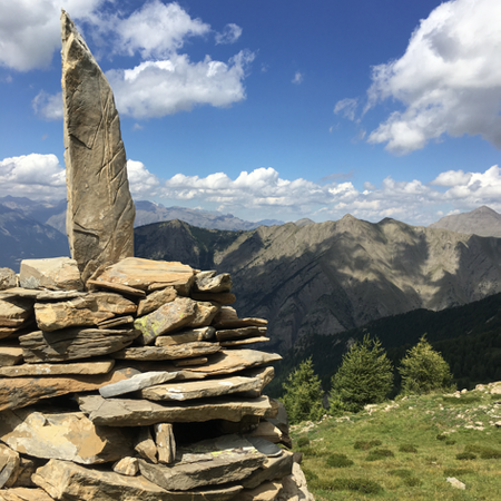
Panoramic views and a challenging hike to one of the iconic peaks of Les Orres. This route is reserved for experienced hikers who are not afraid of heights.
It is possible to stop at Col de Terre Rouge (8.3 km, +800m elevation gain, approx. 5h30).
➡️ START:
In Les Orres 1650, take the Allée des Chamois to the Épervière parking lot (or walk from the Tourist Office: 5 min).
➡️ ROUTE:
Take the trail at the end of the Épervière parking lot. It first passes under a ski lift, then crosses a ski slope.
At the intersection, descend to a second slope, go up it for 80 meters (passing under the chairlift), then turn left at the Clot la Reine sign to join the canal. Follow the direction for Col de Terre Rouge.
At the Fort Anglaise sign, turn right toward Col de Terre Rouge. At the La Founze sign, continue straight until La Cabane, then turn right toward the Clotet basins.
Now the real challenge begins… Follow the direction for Col de Terre Rouge. The trail ascends, winding through the forest and then across clearings until reaching the pass.
Pic de Boussolenc: Keep climbing!
Follow the marked trail No. 15.
From the pass, take the ridge to the right, gaining altitude on a rocky path. The trail crosses to the other slope, leading to a wide rock slab that must be traversed horizontally. It then climbs steeply on loose terrain until the summit.
⚠️ From the pass onward, this is a technical hike for experienced hikers. It may be daunting for those with a fear of heights, and the final section contains unstable rocks.
Rates
Free access.


