Image
© ©LesOrres




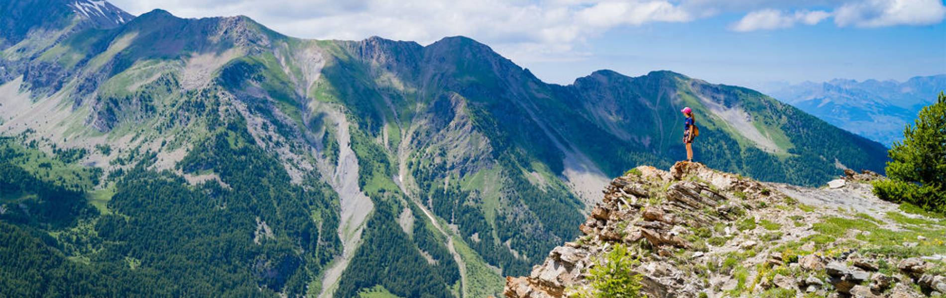
A breathtaking ridge-line hike before descending into the forest. Stunning panoramic views guaranteed, but the trail requires careful attention.
The trail follows the upper mountain bike tracks, offering breathtaking views over the cirque of Lac Sainte-Marguerite, the Vallon du Muretier, the Vallée des Orres and the Embrunais region.
After the orientation table, the path winds through the forest until it joins the marked trail to Lac Sainte-Marguerite, from where you can either head to Les Orres 1800 or reach the top of the Télésiège de Prélongis to return by chairlift to the Les Orres 1650 resort centre.
⚠️ Warning: some exposed sections are equipped with handrails and may feel intimidating (not recommended for people with vertigo).
Free entry for children under 5, people over 75.