
Back to the list

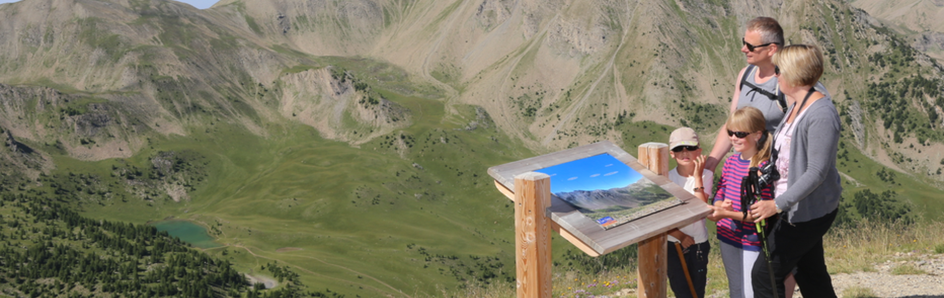
Le Belvédère - Hiking route

D+ 15 m
Dénivelé
Durée journalière
1h
1.80 km
Distance
Type de clientèle
Level green – easy
Environnements
Mountain location
Altitude
2530 m
Presentation
Descriptif Court

Head towards the viewpoint and its orientation table to take in the exceptional panorama of the Massif de l'Aupillon and the Massif des Écrins, as well as the valleys of Embrun and Serre-Ponçon.

Descriptif détaillé

Little effort for a magnificent view! Take the Télésiège de Pousterle to reach the Belvédère hike.

Rates
Tarifs

Free entry for children under 5, people over 75.

Methods of payment
Modes de paiement
Check
Cash
Equipments
Equipements
Parking
Services
Accessible via ski lift
Localisation
Géolocalisation
Itinéraire
Téléphones
Office de tourisme 1650+33 4 92 44 01 61
Le Belvédère - Hiking route
05200 Les Orres