Image
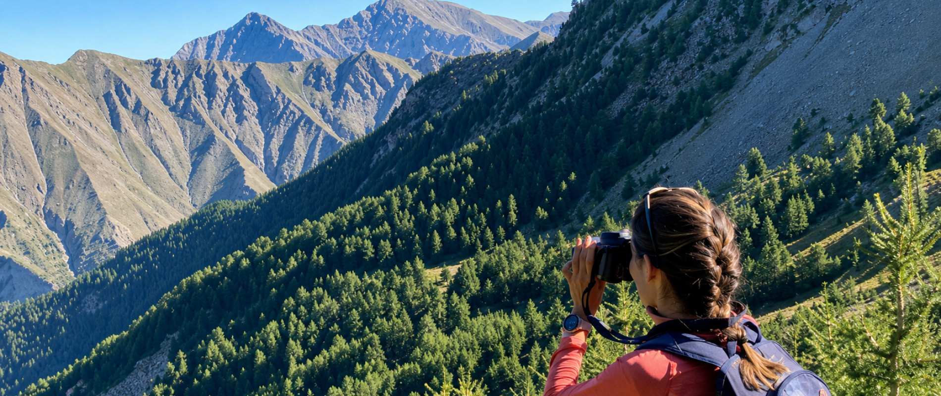


Want to feast your eyes… and give your calves a little workout too? In Les Orres, numerous trails reward your efforts with breathtaking panoramic views of the peaks of the Southern Alps, the Écrins, the Durance and Embrun valleys, and Lake Sainte-Marguerite and Lake Serre-Ponçon nestled in the valleys below.
We’ll take you on a tour of 5 hikes of varying difficulty levels, so that all hikers—whether occasional or regular—can enjoy incredible mountain views. Lace up your boots, fill your water bottles, and grab your camera: ready to head up high?
Many hikes offer beautiful views. But the Méale is in a league of its own. At an elevation of 2,426 meters, the summit offers a true balcony overlooking the Southern Alps. The view takes in the almost unreal blue of Lake Serre-Ponçon. Further in the distance, the Pic de Morgon, the Parpaillon Massif, and the Écrins peaks come into view. The Crévoux, Orres, and Durance valleys immediately catch the eye..
Nothing less!

Ready to hike up the shaded slopes of the Pouzenc National Forest, starting from Les Orres, to take in this stunning view of the Hautes-Alpes mountains? Here’s how to get there:
🅿️ Starting point: Forest parking lot, Les Orres town center.
You’ll need to take a 4x4 trail to reach the trailhead parking lot.
↔️ Distance: 9.15 km
↗️ Elevation gain: 725 m
⏳ Duration of the loop: about 5 hours
💪 Difficulty: Moderate. Suitable for regular hikers. No particular technical difficulties.
The hike begins in the cool shade of the Pouzenc larch forest. If you set out early, you’ll even enjoy a pleasant coolness, which is especially welcome on hot summer days. The trail climbs gradually, allowing you to find your own pace without ever feeling like you’re struggling against the mountain. The trail lets you find your rhythm as you ascend.
Then comes the moment when the forest opens up. The first panoramic views appear, Lake Serre-Ponçon comes into view in the distance, and each bend in the trail seems to expand the scenery a little more.
And finally, the summit.
That moment when you pause for a few seconds, both to catch your breath and to take in what lies before you. Up there, the effort of the climb quickly fades into the background.

What could be more beautiful than a sunset from the top of a mountain in the summer? A memorable experience during your vacation in the Hautes-Alpes!
As the sun begins to sink behind the mountains, the landscape changes color, shadows lengthen, and Lake Serre-Ponçon glows with golden hues. The atmosphere becomes calmer, gentler, and timeless.
To enjoy this experience, plan to set out between 4:00 p.m. and 4:30 p.m. in the summer. You’ll reach the summit with plenty of time to unpack your picnic, share an aperitif with a view of the mountains, or simply settle in to admire the spectacle.
⚠️One last tip, though: don’t forget your headlamp for the walk back to the parking lot once night falls—it’s still a 1.5- to 2-hour hike to get there. While there are no technical difficulties, it’s still a mountain trail with rocks, larch cones rolling under your shoes, roots, and grassy slopes where one false step could be dangerous.
Some peaks impress with their altitude. The Col de l’Âne, however, captivates with its prime location.
Perched above Lake Sainte-Marguerite, it offers a spectacular panorama of two distinct worlds. On one side, the peaks of the Écrins Massif. On the other, the rugged terrain of the Ubaye. In between, the ridges of Boussolenc, the alpine pastures, and that pleasant feeling of having risen a little above the world.
Good news: there are two ways to enjoy it. One option is easy on the legs thanks to the ski lifts, and the other requires a bit more effort.

You can shorten the climb to the Col de l’Âne by taking the ski lifts from Les Orres. The Prélongis chairlift, departing from the Les Orres 1650 base area, followed by the Pousterle chairlift (a 2-section ticket must be purchased at the ticket and information booth located at the 1650 base area), will take you up to the higher elevations. Once you reach the top of the chairlift, simply take Trail No. 5 down to Lake Sainte-Marguerite, then hike up through the alpine pastures to the Col de l’Âne.
🅿️ Starting point: Top of the Pousterle chairlift
↔️ Distance: approximately 9.8 km
↗️ Elevation gain: 290 m up / 300 m down
⏳ Duration: about 4 hours round trip
💪 Difficulty: Moderate+, for hikers accustomed to mountain hiking.
The trail begins with a descent to Lake Sainte-Marguerite along Route No. 5. A welcome warm-up before, once past the lake, turning right to make your way through the idyllic alpine meadows leading to the pass. Keep your eyes peeled—you’ll likely come across plenty of marmots!
Once you reach the Col de l’Âne, also known as the Col de l’Eissalete, your reward awaits: the panoramic view is breathtaking. On one side, the Écrins. On the other, the Boussolenc ridges and the Ubaye mountains. Below, we can see Lake Sainte-Marguerite, nestled amid the alpine pastures.

A hike that really tests your leg muscles! There are three possible starting points to reach Lake Sainte-Margurite on foot and then climb up to the Col de l’Âne: start the hike from the 1650 resort by taking the pedestrian path to the 1800 resort, start directly at the 1800 resort, or—as a third option—set out from the free parking lot at Pra Paisset.
🅿️ Starting point: Les Orres 1650, Les Orres 1800, or the free parking lot at Pra Paisset (on the road leading to Les Orres 1800)
↔️ Distance: approximately 15.5 km
↗️ Elevation gain: approximately 945 m
⏳ Duration: approximately 6 hours and 30 minutes round trip
💪 Difficulty: Difficult, for hikers accustomed to long distances and significant elevation gains.
The first part of the route takes you to Lake Sainte-Marguerite, nestled in a setting of idyllic alpine meadows and more rugged mountain slopes. Take a moment to catch your breath, admire the lake, or enjoy a tasty snack at the picnic tables set right above it. It’s a chance to rest your legs, which have already worked hard!
But the climb isn’t over yet: you’ll still need to ascend nearly 300 meters in elevation to finally enjoy a breathtaking view of the peaks of the Hautes-Alpes on one side and the Ubaye on the other. It’s enough to make your head spin!
A true balcony overlooking the peaks of the Hautes-Alpes, the Col de Terre Rouge offers stunning views of the beautiful Terre-Rouge valley and the surrounding peaks. The Écrins, the summit of Boussolenc, the Embrunais Valley, and a bird’s-eye view of Lake Serre-Ponçon… An accessible route offering a splendid panorama.
⚠️ HIKE ACCESSIBLE STARTING IN MID-JULY: TETRA-LYRE PROTECTED AREA.

If you’re not in top shape or aren’t used to hiking in the mountains, you can still enjoy stunning views by taking the ski lifts as a pedestrian. This allows you to cover less elevation gain while sitting comfortably on a chairlift. This is the case for the route leading to the pass.
🅿️ Starting point: top of the Pic Vert chairlift
↔️ Distance: 3.8 km
↗️ Elevation gain: 225 m
⏳ Duration: about 3 hours round trip
💪 Difficulty: Difficult
Once you reach the top of the Pic Vert chairlift, follow the trail marked with sign #9. This scenic path winds through the rocky foothills of the Terre Rouge valley, just below the summit of Pic de Boussolenc.
Once you reach the pass, it’s time to take in the breathtaking views!

Good physical condition is recommended for this challenging climb! The hike takes place in the cool shade of the larch forest. The view from the Terre-Rouge valley more than makes up for the effort it takes to get there!
🅿️ Starting point: Les Orres 1650, Épervière parking lot
↔️ Distance: approximately 8.30 km
↗️ Elevation gain: approximately 800 m
⏳ Duration: about 5 hours and 30 minutes round trip
💪 Difficulty: difficult, for hikers accustomed to long distances and significant elevation gains.
Right from the start, the tone is set! The trail quickly enters the forest and then winds its way through the larch trees. The pace is steady but demanding. You’ll need to find your rhythm and avoid starting out too fast.
Little by little, the scenery changes. The larch trees disappear, and the terrain becomes rockier.
Upon reaching the Col de Terre Rouge, in the Terre Rouge valley, the landscape opens up to a magnificent panorama. From the pass, you overlook the entire valley: the Grand Vallon, the surrounding ridges, and in the distance, the massifs of the Southern Alps. It’s a magnificent panoramic viewpoint, offering an exhilarating sense of space.
Extra info: The Col de Terre Rouge can serve as a stopover. Many hikers stop here… but you can also continue on to the Pic de Boussolenc for a more challenging hike, reserved for hikers who aren’t afraid of heights.


The Boussolenc, with its two peaks rising to an elevation of 2,832 m, is the summit that overlooks Les Orres. It’s the resort’s landmark! There are three different routes to reach it. But no matter which route you choose—whether starting from the resort or gaining a few hundred meters in elevation via the ski lifts—access to the summit is reserved for those with mountain-walking experience, who are accustomed to balcony trails, and who aren’t afraid of heights.

🅿️ Start: Top of the Pic Vert chairlift, then trails #9, 15, 15 bis, and 8 (to descend via the Pousterle chairlift and then Prélongis
↔️ Distance: 7 km
↗️ Elevation gain: 580 m / Elevation loss: 300 m
⏳ Duration: 5 hours
💪 Difficulty: Very difficult
This is a true ridge hike. It’s not your typical stroll. The trail is less well-marked and more technical, with narrow, exposed sections.
The further we go, the more we feel the open space around us. It’s nothing extreme if you’re used to it, but you definitely need to stay focused.
Once you reach the summit, the view is magnificent. A 360° panorama of the surrounding peaks and mountain landscapes—the Écrins, the Queyras, the Ubaye…It’s the kind of place where we sit in silence for several long minutes.
🅿️ Start: Pousterle chairlift terminal, then Trail No. 8, then Trail No. 15 to the summit
↔️ Distance: approximately 7 km
↗️ Elevation gain: approximately 200 m
⏳ Duration: 3 hours 30 minutes round trip
💪 Difficulty: Very difficult
A shorter route, but not necessarily easier. The terrain remains technical, especially toward the end.
What we particularly liked about this route was the gradual ascent toward the ridge, with viewpoints appearing little by little along the way. We can already see Lake Sainte-Marguerite below, which gives a good preview of what awaits us at the top.
In either case, this is an alpine hike, not just a casual outing. Good weather is essential, and a minimum level of experience is required.

The Aupillon is the resort’s highest point, at 2,916 meters. Almost 3,000 meters! And you can really feel it. The atmosphere is different here—you’re practically in the high mountains.

🅿️ Starting point: Lake Sainte-Marguerite, then Trail No. 13, then Trail No. 14 to the summit
↔️ Distance: 5.8 km
↗️ Elevation gain: 630 m
⏳ Duration: 3 hours
💪 Difficulty: Very difficult
From Lake Sainte-Marguerite, the trail quickly gains elevation. The first few meters wind through a very rocky landscape, with switchbacks winding through rocky terrain. The climb is steady all the way to the Col de l’Aupillon, with a trail that’s sparsely marked but easy to follow.
Once at the pass, simply turn left to reach the summit. At nearly 3,000 meters above sea level, the view opens up to take in the surrounding mountains. After such a demanding climb, this is the kind of place where you’ll gladly take a break before setting off again.
No matter which options you choose—even for easy hikes—it’s very important to: